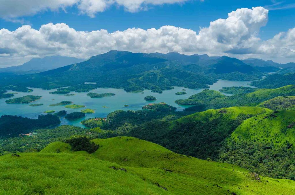
Wayanad is blessed with unique geographical position. Comprising an area of 2132sq km, placed on the southern tips of the Deccan plateau. It’s the prime glory is the majestic Western Ghats with lots ridges irrespective with dense forest, tangled jungle and deep valleys. The attitude of Wayanad varies from 700 to 2100 mts from sea level, it lies between north attitude 11 degree 26’28 and 11 degree 48’38 and 76 degree 26’11. Temperature range from 12 to 25 degree centigrade

It is home to many species of animal and plant life. This station is full of plantation, forest, and wildlife 20864 hectares of reserve forest the major portion is Teak plantation.

Mountains

  • Chebra peaks (2345mts),
  • Vellarimala(245mts),
  • Banasuramala(2061mts),
  • Elembilerimala(1839mts),
  • Brahmagiri(1608mts),
  • Kunnelipadimala(1607mts),
  • Thariode mala(1553 m) etc.

Rivers

Kabini River (Panamaram Puzha,Mananthavady. Puzha,Bavali Puzha are sub rivers)

Climate

Genaraly the year is divided in to four season, Cold weather (December to Februvary) Hot weather (March to May) South west monsoon (June to September) and north east monsoon (October to November) During the hot whether temperature goes up to a maximum of 35°C (95° F) and during the cold whether temperature goes down to 10° (51°F).The average rainfall in the Wayanad is 300mm per year.